Everyone misplaces their iPhone.* You’re walking around, you set down your iPhone, you do some chores, you get ready to go. Where is it? If you own an Apple Watch, it really is the fastest way to find your lost iPhone.
It’s totally easy to ping your iPhone from your Apple Watch. At the push of a button, you can make your iPhone ring, even if it’s on silent. And, while you might know about the basic feature that lets you ping your iPhone, the Apple Watch also offers advanced options for tracking down your missing device.
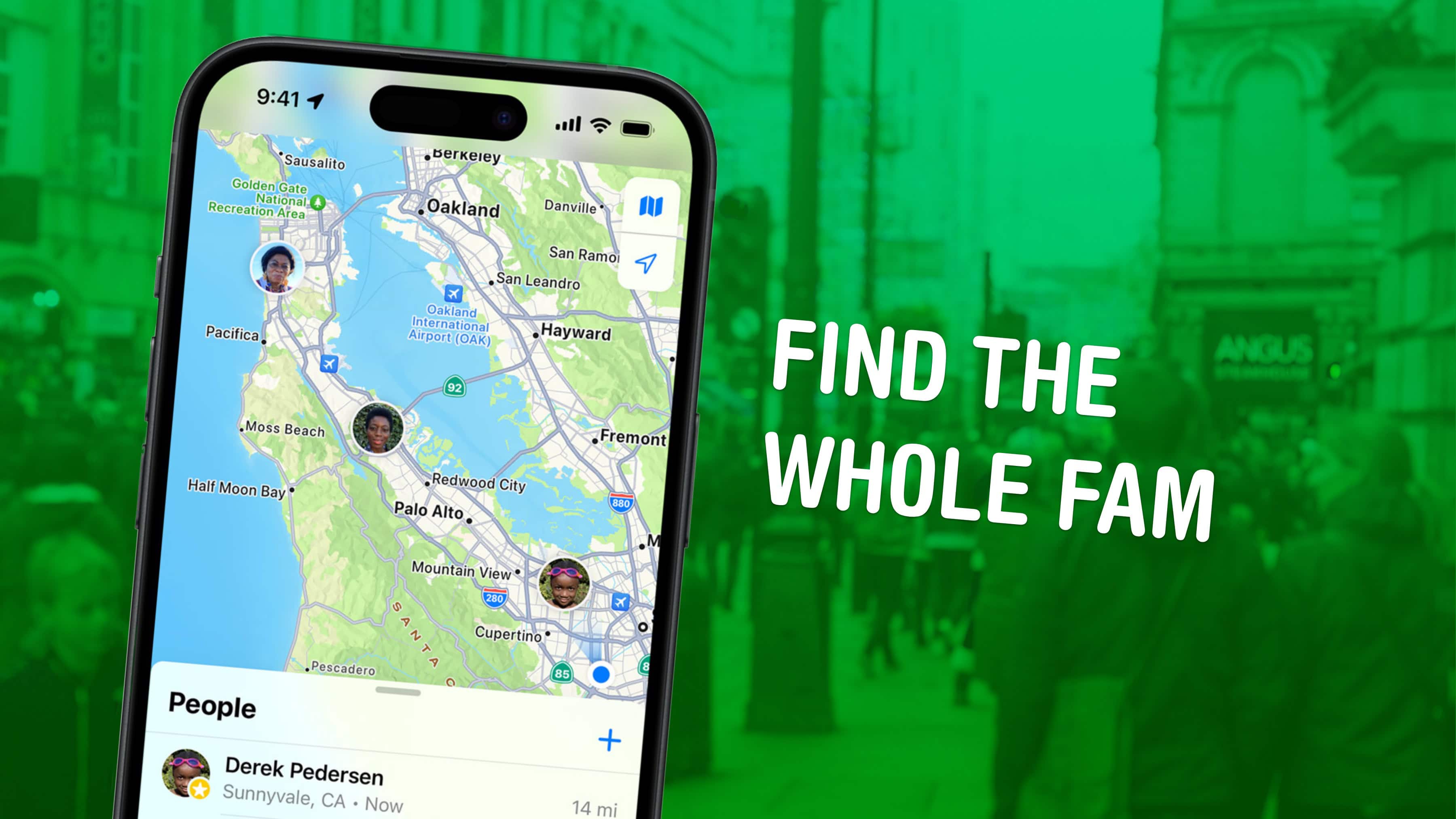
Bonus: Even if you don’t own an Apple Watch, anyone in your Family Sharing group can ring your iPhone even louder with the Find My app. And if you don’t have a family, you can use any other device signed into your Apple account.


