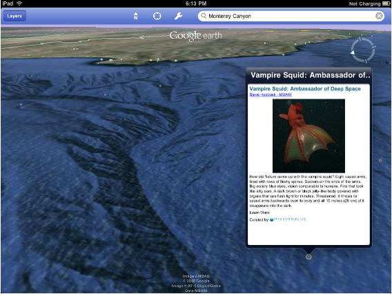
Google Earth has long been one of the most impressive apps on iOS, but the software just got an entirely new and subaqueous dimension: in Google Earth 3.1 for iOS, you can now explore underwater landscapes (or, as Google calls it, “ocean bathymetry and ocean layer content.”
Dive below the ocean’s surface to explore underwater canyons, or travel to the ocean’s deepest point, the Mariana Trench. Once underwater, simply swipe the screen with two fingers to “look around.” You can always reset your view by clicking on the north arrow on the iPad, or on the compass on the iPhone and iPod.
First person out there to spot R’lyeh, please let me know the coordinates: it seems like I’ve spent all morning searching the Pacific depths for the non-Euclidean city in which dead Cthulhu “wgah’nagl fhtagn.”
Google Earth is a free download on the App Store.


