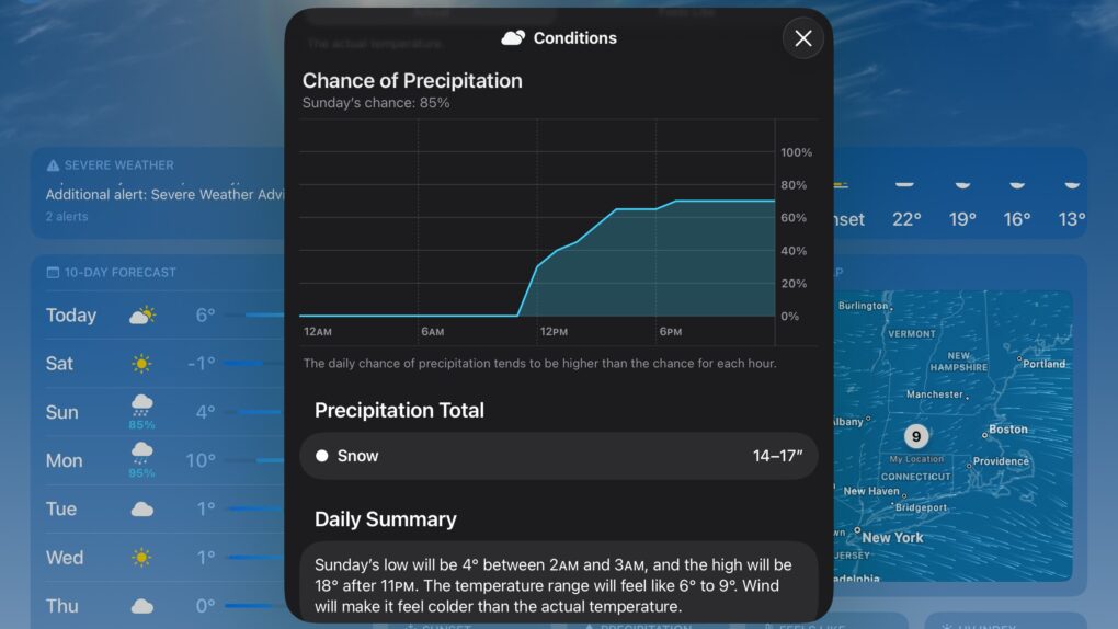
As a major winter storm barrels across the United States this weekend, iPhone users have once again noticed something peculiar. Well ahead of the actual precipitation, Apple’s Weather app seems to predict wildly different snowfall totals from day to day. It might forecast 18 inches of snow one day, then drop that to 8 inches the next. What’s up with how weather apps mislead users? A new report sheds some light.
How weather apps like Apple’s mislead users
The fluctuating predictions have sparked confusion and concern among users who rely on their smartphones for weather information. But according to meteorologists, the issue isn’t unique to the Apple Weather app. It’s a fundamental problem with how most weather apps present forecasts to users, The New York Times reported.
The problem with weather apps

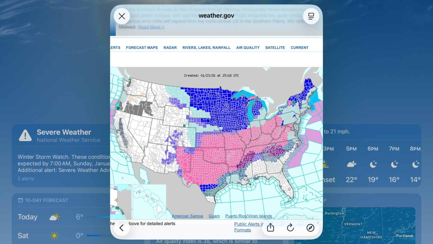
Photo: Weather.gov
The core issue is that many weather apps, including Apple Weather, display raw data from individual forecast models without the context and analysis that professional meteorologists provide. While meteorologists at the National Weather Service balance multiple computer models, dozens of simulations and their own expertise to create forecasts, apps often pull from a single source and deliver it directly to users.
“Everything that catches attention is mostly nonsense,” said Eric Fisher, chief meteorologist for WBZ-TV in Boston. He points to the viral snowfall maps that spread on social media, noting that extreme forecasts generate the most attention even when they may not be the most accurate.
This week’s winter storm has been a case study in forecast evolution. Early in the week, major global weather models — the American GFS and European ECMWF — showed vastly different scenarios. The American model predicted a southern track with freezing rain on the Gulf Coast, while the European model suggested a more northerly path. By Wednesday, the models began converging, allowing meteorologists to speak with more confidence about potential snowfall in the Northeast.
Why Apple Weather shows such high totals
Apple Weather will show snowfall predictions up to 10 days in advance, but weather models simply don’t have enough specificity that far out. The app presents this raw data without acknowledging the uncertainty involved or the range of possible outcomes. What’s shown will almost always fluctuate wildly over subsequent days, often with what looked like snowmageddon turning into a trace of wintry mix — or nothing, sometimes.
Another complication is predicting what form precipitation will take when it reaches the ground. Meteorologists use rules of thumb to estimate whether atmospheric moisture will become snow, freezing rain, sleet or rain. But this can be especially difficult to predict with certainty days in advance.
What you should do instead

Photo: David Snow/Cult of Mac
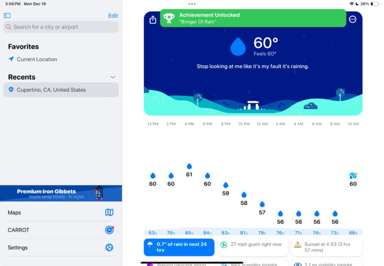
While Apple Weather remains useful for near-term forecasts and severe weather alerts, experts recommend using multiple sources during potential severe weather events. A good approach is to download apps from your local weather stations. They typically feature hand-crafted forecasts from experienced meteorologists who understand local conditions.
Fisher advises finding a meteorologist or source you trust and sticking with them rather than constantly switching between different apps and outlets. Some third-party apps, like Carrot Weather (a Cult of Mac fave), allow users to choose between multiple data sources so you might glean more-nuanced information.
As this weekend’s storm approaches, residents across more than half the United States should prepare for significant snowfall, freezing rain and potential power outages. Just don’t panic if your weather app shows dramatically different numbers from one day to the next. That’s simply the nature of long-range forecasting delivered without proper context.


