


Apps that use GPS to peg a user’s location on a map are nothing new — but an app that works with the user’s own maps — of say a college campus, airport terminals or the sprawling San Diego Zoo — now that’s a pretty neat trick.
Snap + Map by FogTechnologies is a $2 app that lets you does exactly that, by superimposing your GPS location onto a user-defined map — either downloaded in the form of a pdf or from a picture taken with the iPhone’s camera. The app calibrates the iPhone’s GPS receiver with the map by asking you to enter your current location, then move a short distance and enter it again. Of course, much of this app’s usefulness depends on the iPhone’s somewhat spotty GPS capabilities.
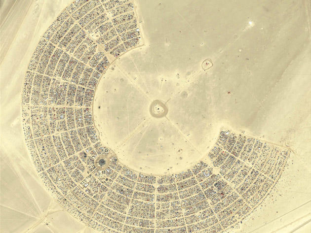
Brilliant idea though — especially for ephemeral locations like Burning Man, where I can totally envision this app saving my life during my next visit; possibly quite literally.
When he was eight, Eli Milchman came home from frolicking in the Veld one day and was given an Atari 400. Since then, his fascination with technology has made him an intrepid early adopter of whatever charming new contraption crosses his path. He calls San Francisco home, where he works as a journalist and photographer. Eli has contributed to the pages of Wired.com and BIKE Magazine, among others. Hang with him on Twitter.

