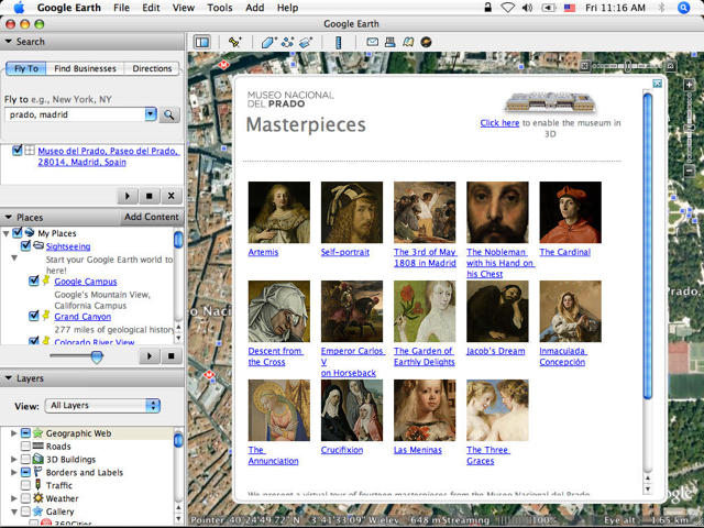
Proving it really is the coolest company on the web, Google unveiled this week the Prado layer in Google Earth, an amazing bit of functionality that lets users zoom into almost any spot on the planet for a detailed view of what’s to be found there using the company’s earth mapping product.
The Google Earth Prado layer also includes 3D models which allow you to fly around the Prado buildings to experience the museum as if you were actually there. The paintings have been photographed in very high resolution and contain as many as 14,000 million pixels (14 gigapixels).
The iPhone version of Google Earth is not yet updated to support this feature, so you’ll have to use your desktop earth to get there.


