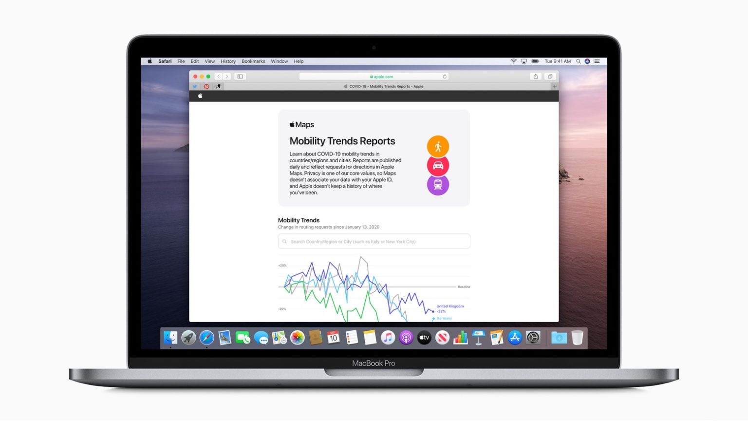
Apple has expanded the data available through its Mobility Trends Reports tool. A report indicates all 50 states are now covered along with about 580 new sub-regions.
The data is meant to help healthcare authorities analyze the spread of coronavirus and slow the spread of COVID-19. It was initially introduced to aggregate data from major cities and 63 countries or regions.
Apple generates the data through requests for directions by users of Apple Maps. That data is then analyzed for changes in the number of people commuting – either by car, public transport, or walking.
The Trend Report is published daily based on Apple Maps usage. The reports were originally made available last month. Users can use the tool online and search by country, region, or city to see specifics trends for an area.
Apple is also allowing people to download the complete data set in CSV form, which includes daily changes in requests for directions by transportation type.
As has been the case with the use of data to analyze other factors, Apple has made clear that privacy is central to its mission and that “Apple doesn’t keep a history of where you’ve been.”
The details were reported on Twitter by Romanian data analyst Horace Dediu.


