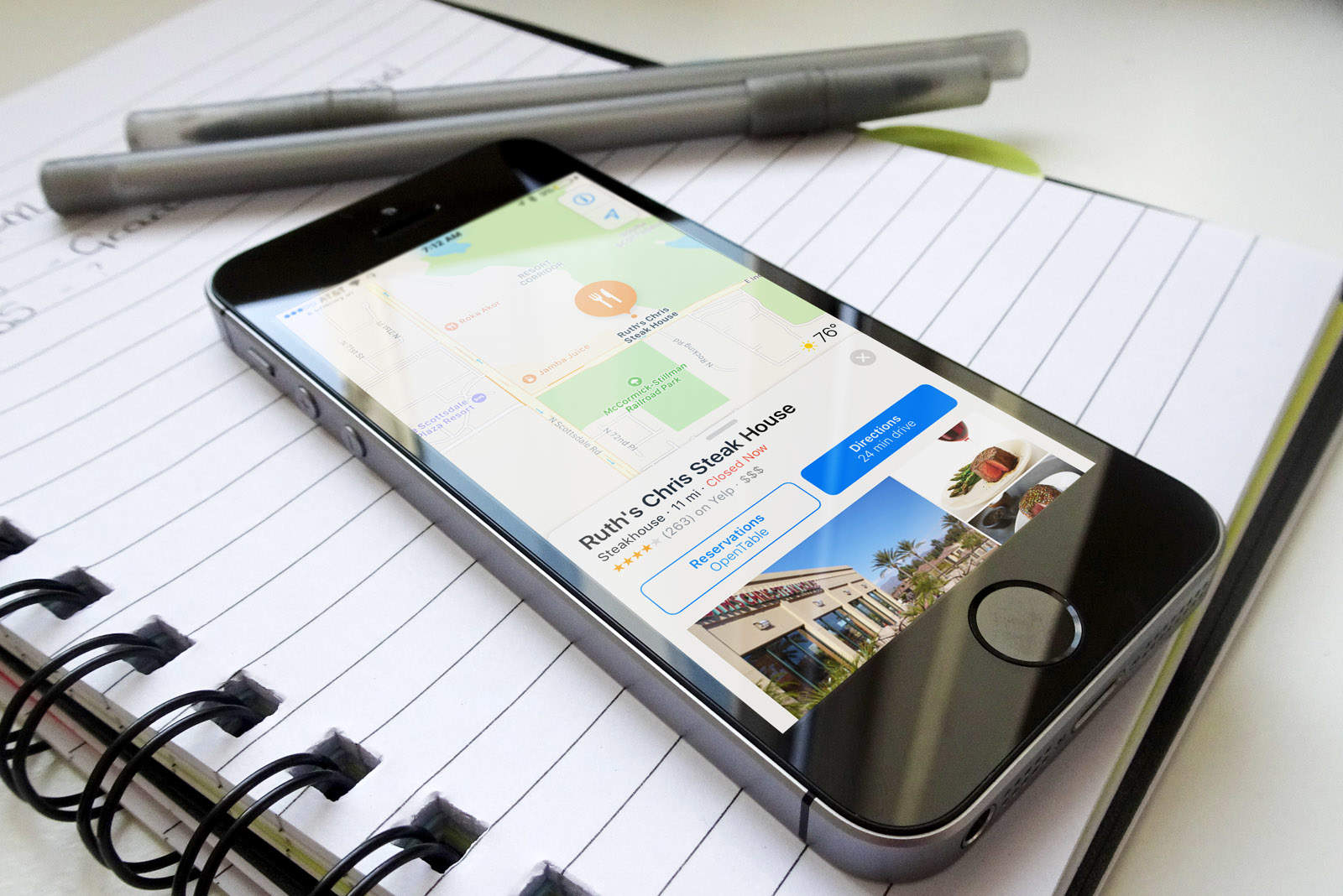
Apple plans to use a combination of drones, indoor mapping and other smart tech to improve its Apple Maps service, claims a new report.
Employing drones could help Apple catch up with industry leader Google. The search giant has routinely outpaced Apple on mapping technology ever since Cupertino entered the space with its (initially disastrous) Apple Maps in 2012.
Specifically, Apple wants to use drones to “examine street signs, track changes to roads and monitor if areas are under construction,” so as to get a one-up on rival mapping services when it comes to keeping its maps up-to-date.
Apple previously revealed that it updates its Maps data every single day. The company has also used mapping minivans to collect data, although unlike Google’s similar Street View mapping vehicles, Apple’s appear to have been limited to a select few test locations.
In keeping with its new drone ambitions, Apple filed for a Federal Aviation Administration exemption on September 21, 2015. That got approved in March, granting the company the ability to “operate an unmanned aircraft system to conduct data collection, photography, and videography.”
[contextly_auto_sidebar]
Apple won’t be building its own drones, however. Instead, Apple will use UAVs developed by SZ DJI Technology Co. and Aibotix GmbH to collect its data.
It will have to restrict its drone flights to daylight hours and have licensed pilots controlling the craft, which can only be operated within line of sight. To this end, Apple is said to have assembled a dedicated drone team in Seattle, including a former member of Amazon’s Prime Air drone division.
The company is also planning to use indoor mapping technology to let users more easily navigate inside buildings. This goal was behind the acquisition of two companies, WiFiSlam and Indoor.io, in 2013 and 2015 respectively.
Apple’s indoor mapping ambitions have been evidenced before, with patents that describe a method of seamlessly transitioning from outdoor maps showing roads and buildings to indoor ones showing stores and restaurants. Such technology has been linked to iBeacons, Apple’s Bluetooth Low Energy emitters designed to make iDevices location-aware indoors.
Finally, Apple is looking to incorporate technology that makes better suggestions when drivers are changing lanes.
There’s no precise date when these features are likely to roll out, but Bloomberg says they are “planned for release next year,” although they “could be held back” if they don’t measure up to Apple’s demands.


