


Apps that use GPS to peg a user’s location on a map are nothing new — but an app that works with the user’s own maps — of say a college campus, airport terminals or the sprawling San Diego Zoo — now that’s a pretty neat trick.
Snap + Map by FogTechnologies is a $2 app that lets you does exactly that, by superimposing your GPS location onto a user-defined map — either downloaded in the form of a pdf or from a picture taken with the iPhone’s camera. The app calibrates the iPhone’s GPS receiver with the map by asking you to enter your current location, then move a short distance and enter it again. Of course, much of this app’s usefulness depends on the iPhone’s somewhat spotty GPS capabilities.
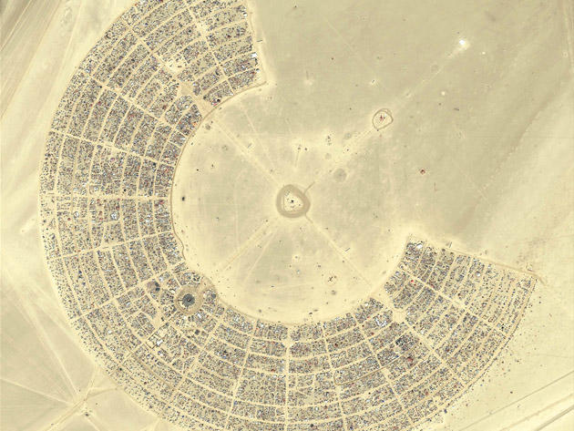
Brilliant idea though — especially for ephemeral locations like Burning Man, where I can totally envision this app saving my life during my next visit; possibly quite literally.

