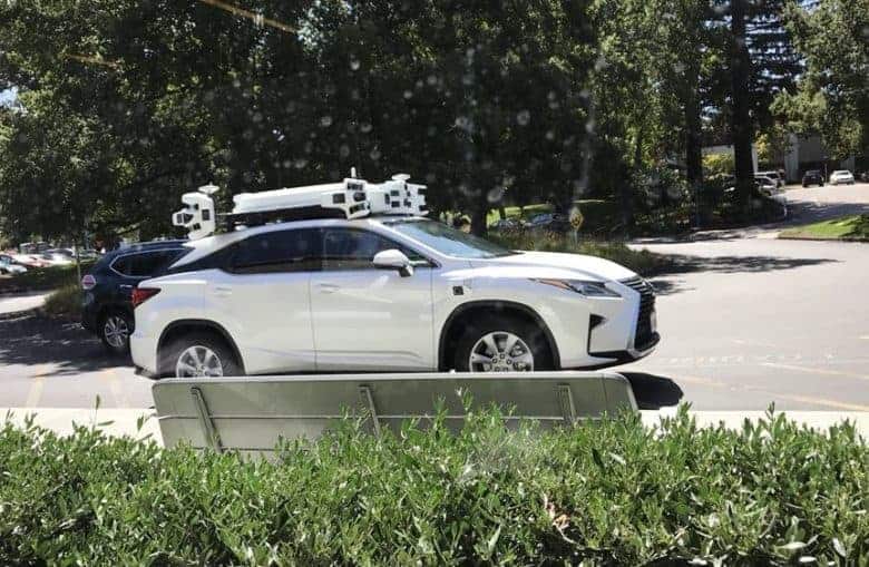
Apple is set to begin using its Apple Maps minivans to collect mapping data in Japan later this year, the company has revealed.
Apple is due to begin carrying out surveys of Tokyo and Urayasu between June and October, marking the eleventh country that Apple has used its vehicles to collect data in. Previously, Apple’s map vehicles have collected data in Croatia, France, Ireland, Italy, Portugal, Slovenia, Spain, Sweden, the U.K., and, of course, the United States.
The company has long been rumored to be working on a feature similar to Google’s Street View for Apple Maps, although this has yet to materialize. Its mapping minivans have been spotted dating back as far as 2015.
In a Japanese language page, Apple notes that it is, “driving vehicles around the world to collect data which will be used to improve Apple Maps. Some of this data will be published in future Apple Maps updates.” It continues that, “We are committed to protecting your privacy while collecting this data. For example, we will blur faces and license plates on collected images prior to publication.”
Working to improve Apple Maps
While Apple has yet to release its own version of Street View, it is working hard to improve Apple Maps, which was largely labelled a laughing stock after its 2012 debut. Early Map problems ranged from depicting horribly warped landscapes to directing folks visiting the airport in Fairbanks, Alaska to drive across one of the taxiways.
Since then, Apple has worked hard to change perceptions about the app. For the last several years, Apple has been updating the service every single day to try and keep it current, while it’s also investigated technologies like indoor mapping and the aforementioned mapping cars to keep it current.
Most recently, Apple was granted permission — as part of the U.S. Transportation’s new drone program — to use UAVs (unmanned aerial vehicles) to capture aerial images of North Carolina. This will also be in service of improving its mapping services with more detailed images.
What is your assessment of Apple Maps here in 2018? What improvements would you like to see Apple make? How does it compare to its rivals? Let us know your thoughts in the comments below.
Source: Macotakara
Via: MacRumors


