Apple Maps was a laughingstock when it launched, but it’s come a long way since then. Now Apple has been given approval to further improve the service using drones.
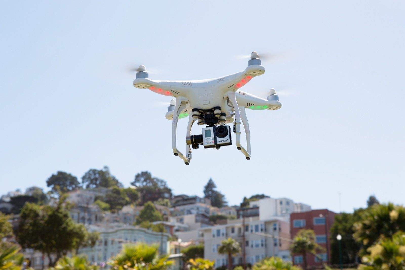
As part of the U.S. Transportation’s new drone program, Apple is allowed to capture images of North Carolina using unmanned aerial vehicles (UAVs). This will allow it to enhance its mapping services with more detailed images.
Apple has committed to maintaining user privacy by blurring out faces and car license plates in images, much as is already the case with public mapping efforts like Google’s Street View Project.
Apple was one of a number of tech companies which applied to be part of the the new U.S. drone testing program, launched by President Donald Trump last year.
According to Reuters, while Apple’s proposal was approved, Amazon’s plan to test out drone deliveries in New York was turned down. So were applications related to DJI, the China-based world’s largest manufacturer of non-military drones. Intel, Airbus, Uber, FedEx, and Microsoft all had their proposals accepted.
Working hard to improve Apple Maps
When it launched in 2012, Apple Maps was widely ridiculed as a flop. Coming shortly after Tim Cook took the reigns at Apple, it was cited as an especially major fail which cast doubt on his abilities to succeed Steve Jobs. It also led to the departure of Scott Forstall, then viewed as a rising star in Apple.
Early Map problems ranged from depicting horribly warped landscapes to directing folks visiting the airport in Fairbanks, Alaska, to drive across one of the taxiways. Since then, Apple has worked hard to change perceptions about the app. For several years, Apple has been updating the service every single day to try and keep it current, while it’s also investigated technologies like indoor mapping and mapping cars for keeping it current.
This isn’t the first time we’ve heard about Apple’s plans to use drones to add to its high tech ways of keeping Apple Maps current. Apple filed for an FAA exemption for drone use on September 21, 2015. This was approved in 2016, giving the company the ability to “operate an unmanned aircraft system to conduct data collection, photography, and videography.”
A Bloomberg report that year suggested that Apple wants to use drones to “examine street signs, track changes to roads and monitor if areas are under construction,” so as to get a one-up on rival mapping services when it comes to keeping its maps up-to-date. Its drones were then said to include those developed by SZ DJI Technology Co. and Aibotix GmbH.
The latest government exemption will let Apple take these ambitions further by being able to go beyond the usual drone flight limitations permitted by federal aviation regulators. Examples include flying drones at night, as well as flying them beyond an operator’s line on sight.


