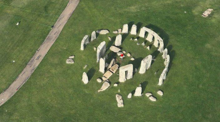
Apple Maps may not shed any light on how Stonehenge was constructed (my personal favorite theory is that it was a particularly rubbish-sounding ancient team-building event), but it can now give you a beautiful 3D view of the ancient stone circle.
While it launched with just a handful of cities supported, Apple has been adding more and more locations to its 3D Flyover library as of late. The service made its debut with iOS 6, based on the tech acquired by Apple from 3D mapping company C3 Technologies in 2011.
Last month Apple added Perth, Saint-Tropez, and Cordova to the list — and now everyone’s favorite prehistoric monument from Wiltshire, England has joined the exclusive list, too.
To view Stonehenge in the most optimal way possible, wait until sunrise, then type “Stonehenge” into Apple Maps, and chant your thanks to Tim Cook and his Apple brethren.


